








Points of Interest
I – Bylis Antiquity
The protected landscape of Poçem, the wild Vjosa River, the Illyrian city of Bylis, the Temo Celaj House in Klos and the ancient city of Nikaia, along Itinerary I.
Five points of interest along Itinerary I, a circular route from the Poçem crossroad through Hekal and Klos: the protected landscape of Poçem, the wild Vjosa River, the Illyrian city of Bylis, the Temo Celaj House and the ancient city of Nikaia.
Poçem Protected Area
- Type
- Protected area
- Location
- About 1.3 km from the Levan–Tepelenë road, at the turn-off to the village of Poçem
- Coordinates
- 40.513017, 19.737313
Poçem is a picturesque village located in the heart of Mallakastër, known for its natural beauty, rich history and traditional hospitality. Surrounded by green hills and valleys, the village offers quiet and authentic landscapes that make it an ideal destination for rural and nature tourism.
The area stands out for its cultural and historical heritage, preserving old traditions, folk customs and the characteristic architecture of southern Albania. Rural life, agriculture and livestock farming are part of everyday life, while local products offer a unique gastronomic experience for visitors.
Poçem is also a convenient base for exploring Mallakastër, being close to places of historical and natural interest. The tranquility, fresh air and open landscape make the village attractive for tourists seeking to escape the noise of the city and wishing to experience authentic Albania.
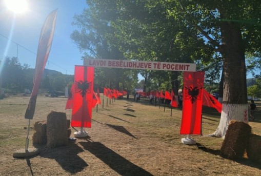
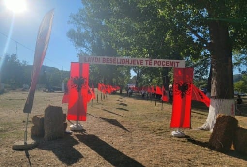
It is a site with special natural and landscape values, linked to the ecosystem of the Vjosa and the biodiversity of the area. It offers opportunities for discovering nature, observing the landscape and biodiversity, photography and numerous outdoor activities. It constitutes an important complementary element of the "Antiquity Bylin" itinerary, intertwining the natural heritage with the historical and cultural heritage of Mallakastër, since within the surroundings of this natural site one of the area's historical festivals takes place, in the month of July, called: the Festival of the "Three Bësëlidhje of Poçem". This festival is historical in nature and coincides with historical events, specifically the years 1847, 1920 and 1943, which mark the efforts of the inhabitants of the villages of the Mallakastër region against the Tanzimat Reforms (1847), the Vlora War (1920) and the Nazi-fascist occupation (1943). In the touristic context, this festival has also turned into a tourist attraction thanks to the very natural beauty of the Vjosa valley, now declared a "National Park", as well as the surrounding area, culminating in concerts, traditional local dishes, and the intertwining of historical events with the characters of those events.
1 / 5
Vjosa River
- Type
- National Park (Category II), UNESCO Biosphere Reserve
- Location
- About 0.2 km from the Levan–Tepelenë road
- Coordinates
- 40.528428, 19.728420
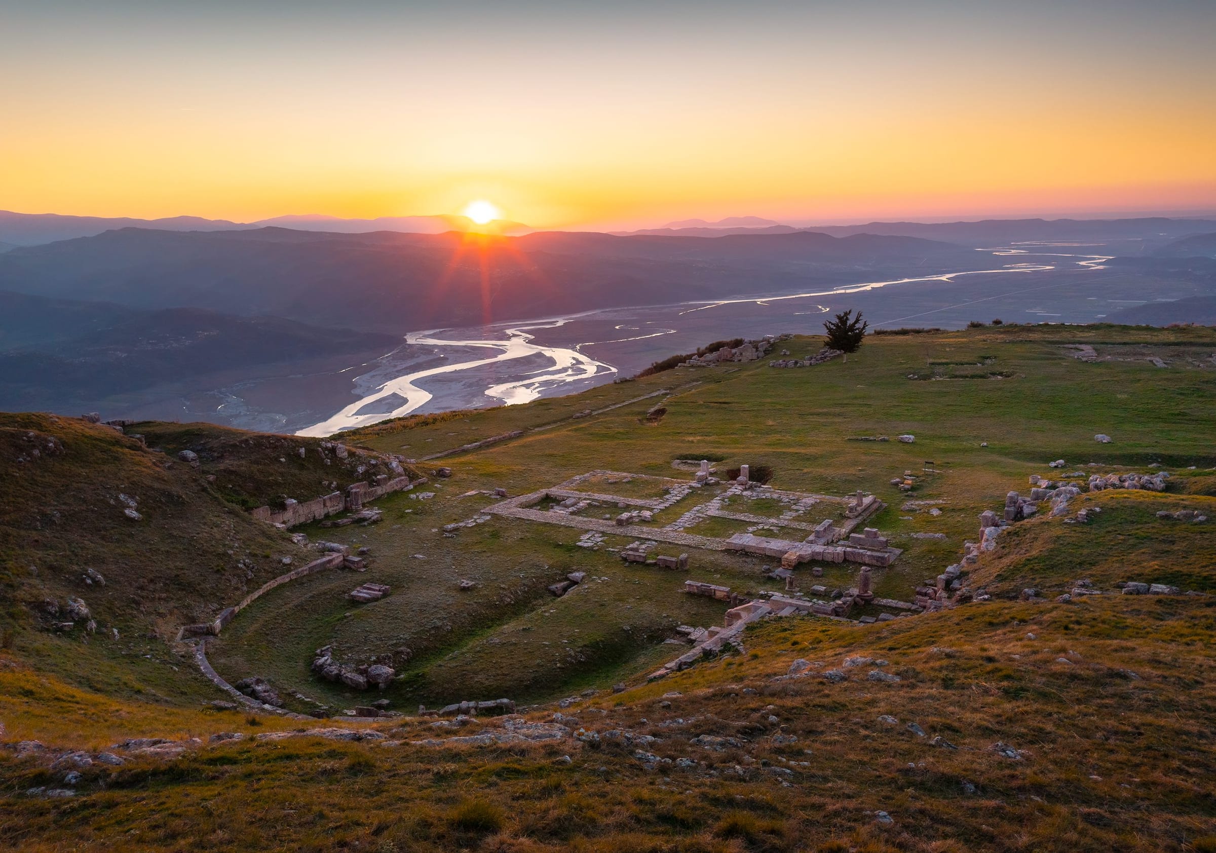
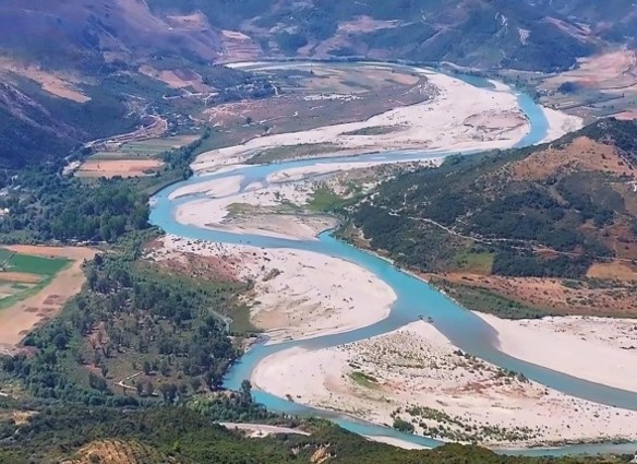
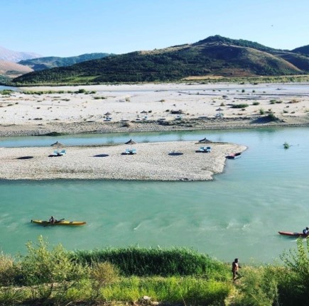
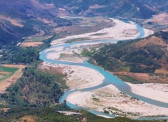
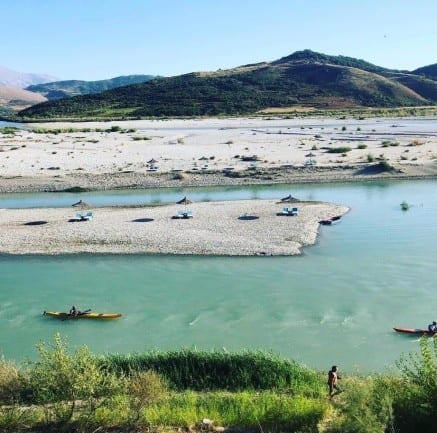
The Vjosa River constitutes one of the most important natural assets of Albania and an element of particular value for the development of nature tourism in the territory of Mallakastër. On 13 March 2023, the natural ecosystem of the Vjosa was declared a National Park, Category II, placing the river and its ecosystem under a special protection regime. The Vjosa is considered one of the last wild rivers in Europe, with free-flowing waters and a river system that, together with its tributaries, extends over more than 400 km. The Vjosa River crosses the Mallakastër area, entering from the Vurgu gorges at Çorrush (natural monuments) and passing through several villages of the Mallakastër area, to empty into its final point, the Adriatic Sea. As we mentioned above, the Vjosa River constitutes one of the most important natural attractions of the territory, with extraordinary ecological, landscape and touristic values. As part of the "Vjosa Wild River" National Park, it offers a distinctive natural landscape, characterized by the free flow of water, riverbanks and riverine habitats, rich biodiversity and the interaction of nature with local communities. The inclusion of the Vjosa Valley in UNESCO's World Network of Biosphere Reserves in 2025 has further increased its importance as a sustainable tourism destination. In the context of the "Antikiteti Bylin" itinerary, the Vjosa also serves as a connecting element between the natural heritage, landscape, history and cultural heritage of Mallakastër, creating opportunities for nature experiences, water sports, photography, environmental interpretation and acquaintance with the rural character of the territory.
1 / 7
Bylis Archaeological Park
- Type
- Cultural monument (category I), protected area
- Location
- Above the village of Hekal, about 9 km from the Levan–Tepelenë motorway exit
- Coordinates
- 40.543026, 19.738586
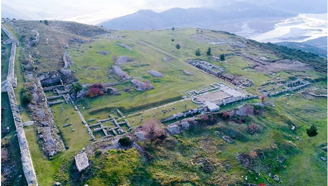
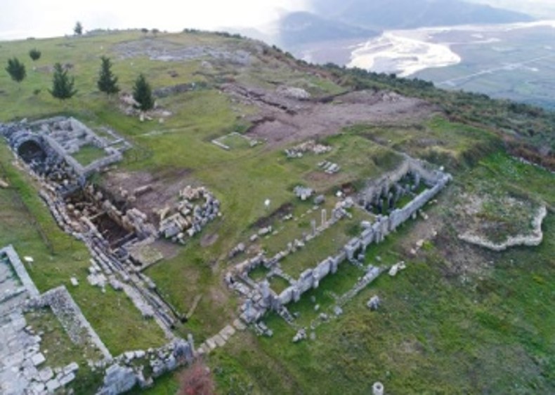
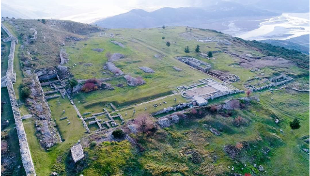
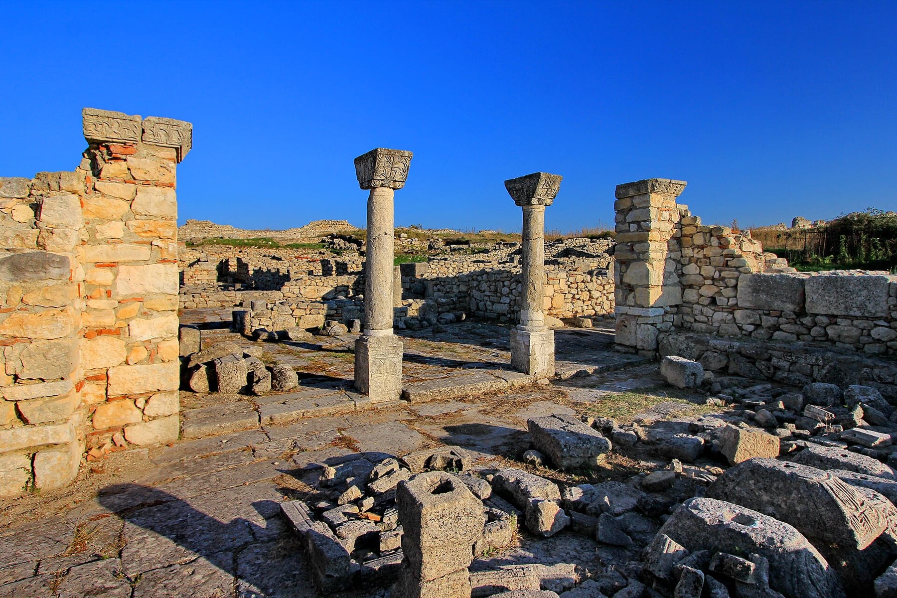
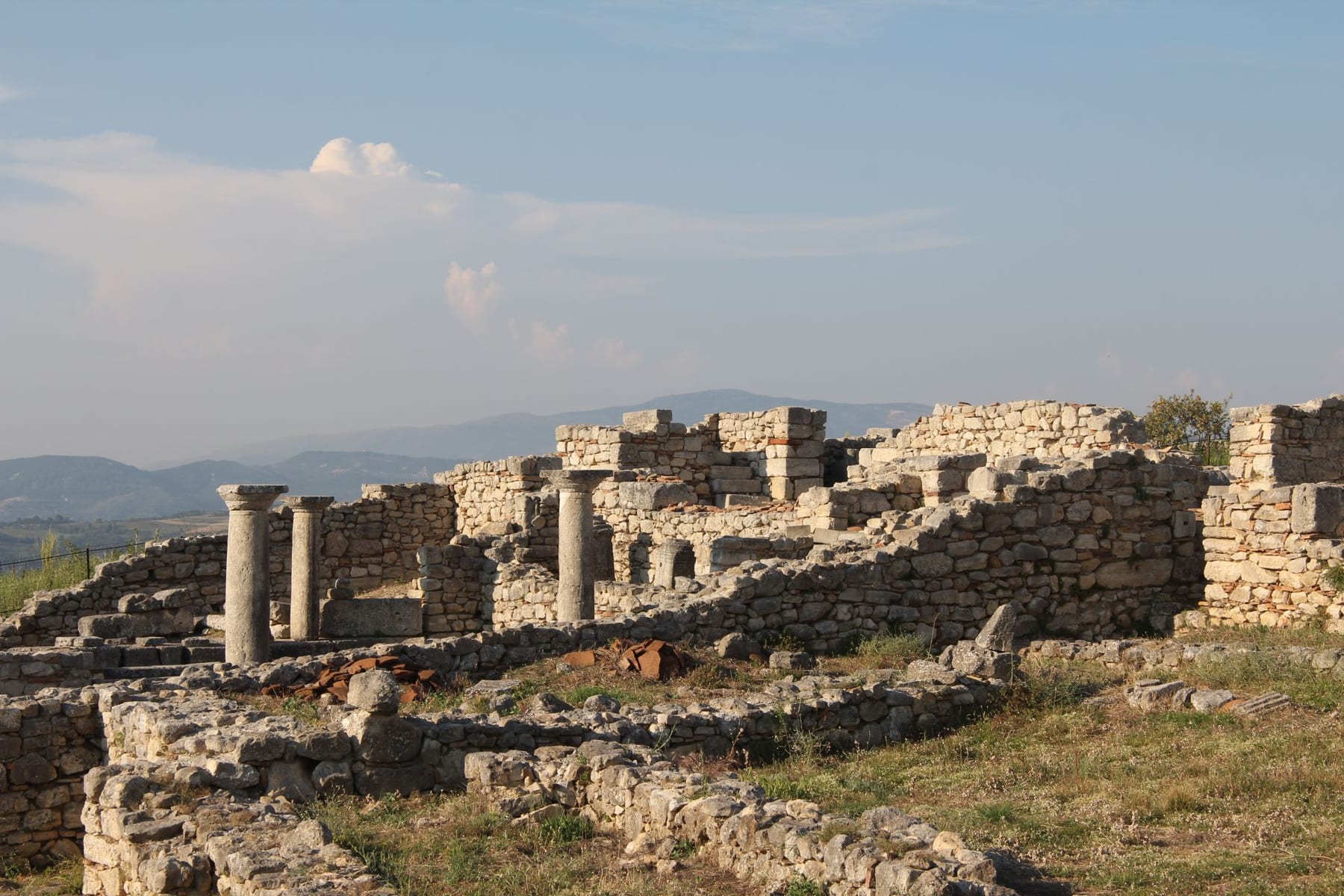
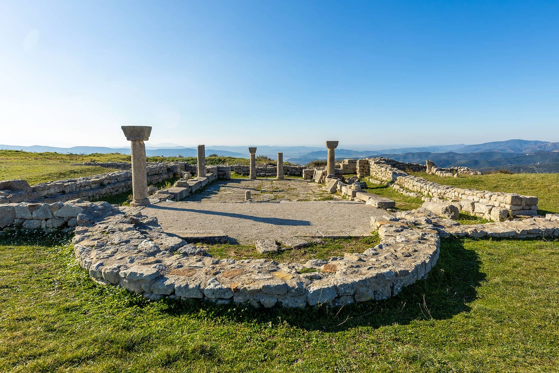
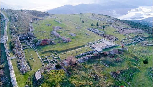
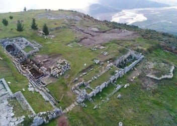
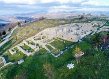
The Bylis Archaeological Park, an Illyrian city and Protected Area, is a Category I Cultural Monument and a designated Archaeological Park. It extends over an area of about 32 hectares above the village of Hekal. In its composition, the Bylis Archaeological Park includes one of the largest and most emblematic Illyrian cities. Its formation during the 5th–4th centuries BC was the result of an early development of civic life that began in the proto-urban centers of Margëllëç, Mashkjeza, and Klos, which began in the middle of the 7th century BC, before the founding of Apollonia, and developed under its influence during the 6th–5th centuries BC. Both cities are part of a civic constellation composed of four cities (Bylis, Klos, Gurëzeza, and Margëllëç) and three fortresses (Rabie, Kalivaç, and Cfiri). It is considered to be the most complete and clearest complex of the urban development of southern Illyria in that period, which is also characterized by the formation of the Illyrian Kingdom as one of the important factors of the Illyrian Balkans. From this perspective, the urban model of the Koinon of the Bylliones is one of the clearest indicators of ancient Illyrian civilization, as an integral part of the centuries-long history and culture of Albanians.
Historically, the Ancient City of Bylis has its origins in the middle of the 4th century BC and is thought to have been an important center until the end of the 6th century AD, that is, 10 centuries of life. After this moment, this settlement was not active, which is also considered a factor that preserved it from irreparable damage.
Bylis was an important center until the moment it was abandoned. The five basilicas discovered within the surrounding walls testify to this.
The end of the city is thought to have been between the years 587–588 and was a consequence of barbarian invasions, mainly Slavic. The city was completely destroyed and the population left. However, there are also opinions that the end of the city coincides with a period several centuries later.
1 / 9
Temo Celaj House
- Type
- Cultural monument (category I)
- Location
- Centre of the village of Klos, about 3 km from Hekal and 10 km from Ballsh
- Coordinates
- 40.529735, 19.751061
It is located in the center of the village of Klos, about 3 km from the center of the village of Hekal and 10 km from the town of Ballsh, and it is thought to have been built as early as 1920. This cultural monument, as regards its physical condition, is in the restoration phase through a private initiative. The "Temo Celaj House" is a cultural monument of particular importance as regards its historical values, the events of life in that kind of period, cultural values as well as touristic ones. Its restoration and transformation into a touristic enterprise of the "museum" or "guesthouse" type, as is rumored by the residents of the area and by the owners who now possess it in ownership, will have a great impact on national identity, economic and touristic development that can attract numerous local and foreign visitors. Such characteristic houses are a precious asset that helps in preserving Albanian history and traditions. Being very close to the "Illyrian City of Bylis" and the "Ancient City of Nikaea," as regards opportunities and especially touristic activities, this cultural monument is an even more precious asset if investment is made in it for its transformation into a genuine cultural, touristic activity, etc.
1 / 1
Ancient City of Nikaia
- Type
- Cultural monument (category I), protected area
- Location
- On the hill above Klos, about 2 km from the village centre
- Coordinates
- 40.527239, 19.756034
The Protected Area of the Ruins of Klos (the Ancient City of Nikaia) with surrounding fortification walls (10m buffer). It is a Protected Area and a Category I Cultural Monument.
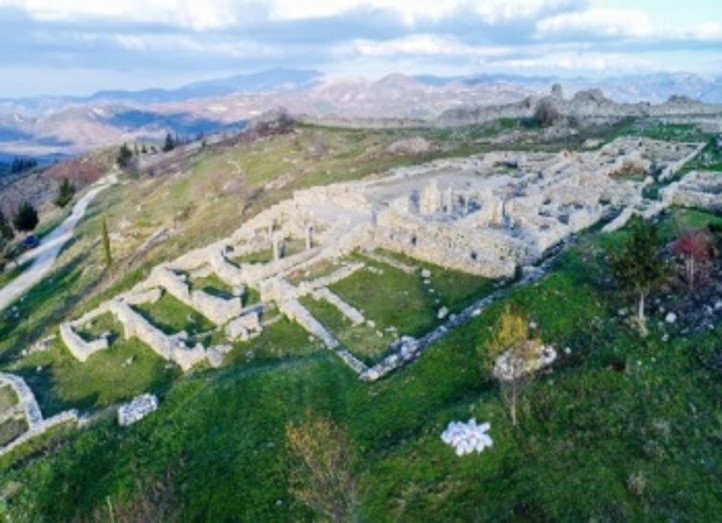
It is located on the hill of the present-day village of Klos at an altitude of 355 m above sea level and covers an area of about 18 hectares. This Cultural Monument, of extraordinary historical and cultural importance, is still not properly explored in accordance with the values it represents.
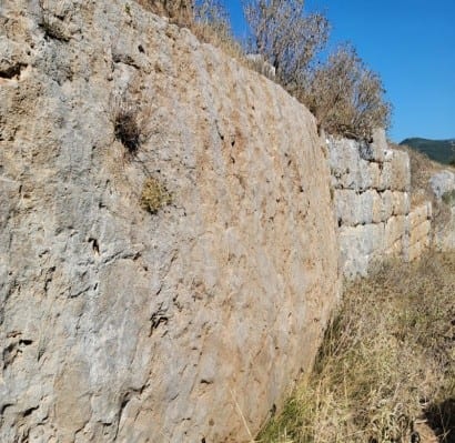
However, despite this, it is thought that, in the first phase of construction, the walls were built with trapezoidal and polygonal blocks, while during the second phase, about 1 century later, they were completed with square blocks. The city had only one entrance and three towers placed at the most exposed points of the defense.
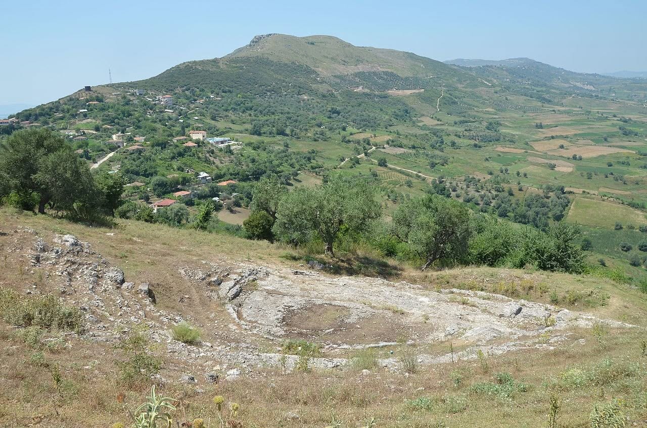
From field observations, it results that the cultural assets it contains, including traces of ancient dwellings, a theater carved into the rock, the surrounding walls, and other structures, are still in relatively good natural and physical condition.
Nevertheless, there is an urgent need for more prominent attention and greater investment in this asset of archaeological value, with the aim of transforming it into an important historical, cultural, and tourist destination.
Klos is considered to be the earliest urban center in the Illyrian territory of the Bylliones. Various studies testify to a process of urban transformation of an earlier local settlement. According to them, the earliest phase of the construction of the city's surrounding wall dates to around the second half of the 5th century BC, which is also defined as the traditional date of the city's creation, which previously, by various authors, was identified with different centers of antiquity. However, among these determinations, the most substantiated identification is considered to be that of Louis Robert (French historian and epigrapher), who, on the basis of deciphering an inscription, argued for the ancient town of Nikaia.
On the other hand, Byllis is thought to have been founded about 1 century later, in the middle of the 4th century. The placement of the two urban centers at a distance of about 1 km from each other has led archaeologists to believe that they formed a double city, in which Klos is known as Nikaia also thereafter. More precisely, we are dealing with the coexistence of two independent Byllian cities, but with a strong respective traditional connection. Indeed, although not fully argued, the possibility is not excluded that the inhabitants of Klos may have been among the founders of Byllis.
1 / 4